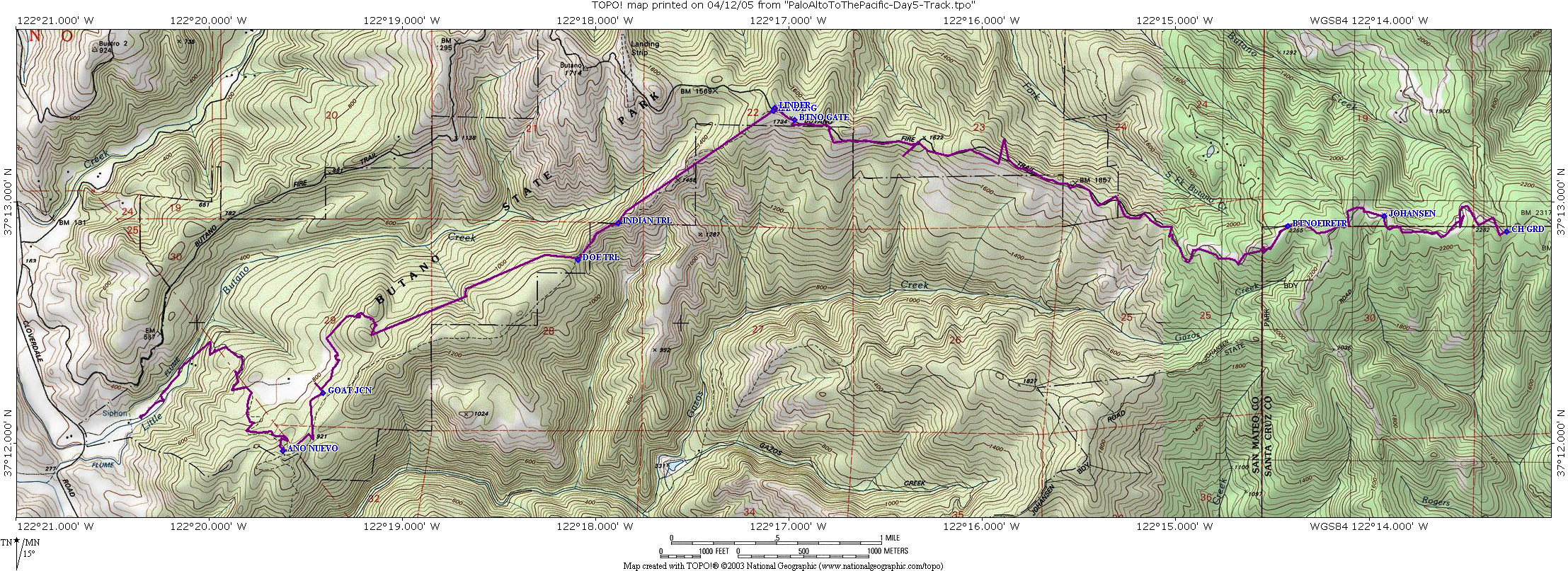
 Cindy was kind enough to volunteer to drive me to the drop-off for this segment, so we left early in the morning and made our way to the China Grade Road. I remembered this road well because I had been on it a number of times before going to the Camp Cutter Scout Reservation.
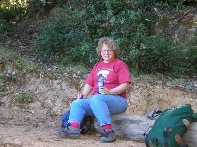
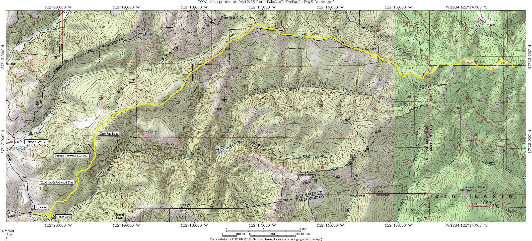
 We found the entrance to the Basin Trail Easement, parked the car and together hiked to the Viewpoint in Pescadero Creek County Park. So I was able to restart where I had last finished off. When we returned to the car Cindy took off and promised to meet me at Butano State Park late in the day. I had about ten miles to do to make that, so I needed to get on my way.
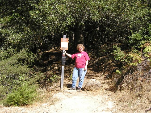
 There is a trail camp close to this junction and one could stop for the night there. But I wasn't staying, so I didn't check it out and went further west on China Grade Road to the gated entrance of the Butano Fire Road. China Grade is a very lightly travelled road, so there was no difficulty hiking on it. Butano Fire Road is on private property prior to reaching Butano State Park, but a check with the Rangers assured me that there would be no problems in using it for this connection. The hike on it to the Park went quickly, but the trail itself is pretty boring and lacked many of the scenic views found elsewhere during this trek.
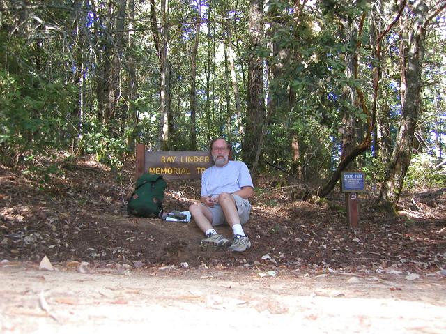
 Butano State Park is one of the lesser known State Parks, and is more isolated than the rest, being quite a few miles from any major road. But the Park itself is amazing, with a diversity of hiking and biking trails, dark and primevil feeling forests, trail camps, RV camps, and a location close to the ocean where one can find excellent beaches. There's even an old aircraft landing strip and waterfalls if you know where to look. So I was excited to see the Park entry sign on the Butano Fire Road. This meant I had entered the last major Park on the trail before the final stretch to the ocean.
 Once in the Park there are many different interconnected trails that take you to the main entrance. I wanted to see the trail camp on the north side, so I took Butano Fire Road and then headed south on the Indian Trail until it linked up with Olmo Fire Road. My overall plan was to exit Butano on the southern edge using a trail shown on the topo maps, but I would have to link up with Cindy that day who promised to meet me by the main gate.
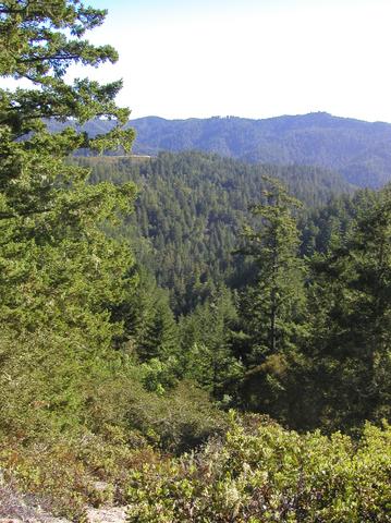
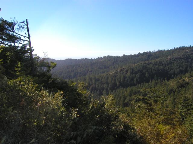
 Olmo Fire Road has beautiful scenic vistas to the southeast. It's on the edge of the Gazos Creek watershed, so there are many fine views into that valley. After travelling for a while on the road I came to a an overlook and a clear view to the southwest. This was the Pacific! My first view of the ocean was electrifying after so many miles on the trail. But I wanted to avoid the sections of Olmo on private property, and had a desire to travel through the forest, so when the opportunity to exit onto Doe Ridge Trail appeared, I left Olmo and headed away from the edge of the Park.
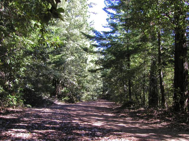
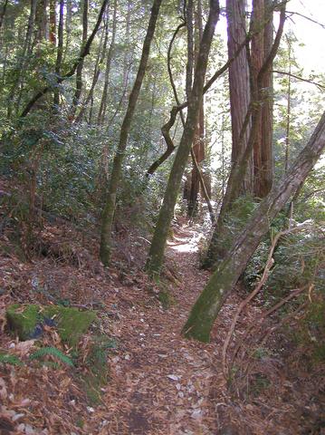
 Travelling on the Doe Ridge Trail felt like going back in time through a time warp. The forests are dark, the trees huge and the feeling is that of a primeval forest. Even though the sun was out, the canopy of the trees blocks out nearly all the light leaving you to travel down a dark and shadowy trail.
 When Doe Ridge tee'd with the Goat Hill Trail I headed back towards Olmo so I could look for the entry to the topo map trail. I never found it. The map was wrong and there was no connector to Gazos Road from this part of the park.
 I took the service road downhill to the main park road (Año Nuevo Trail would have been a better choice) and started to look for Cindy. It turns out that the drive from China Grade to Butano consumed most of her day, and my footpath, though long, got me to Butano less than an hour after she arrived. It was good to see her, and the feeling that I was only a few miles from the finish gave me a great feeling of accomplishment.
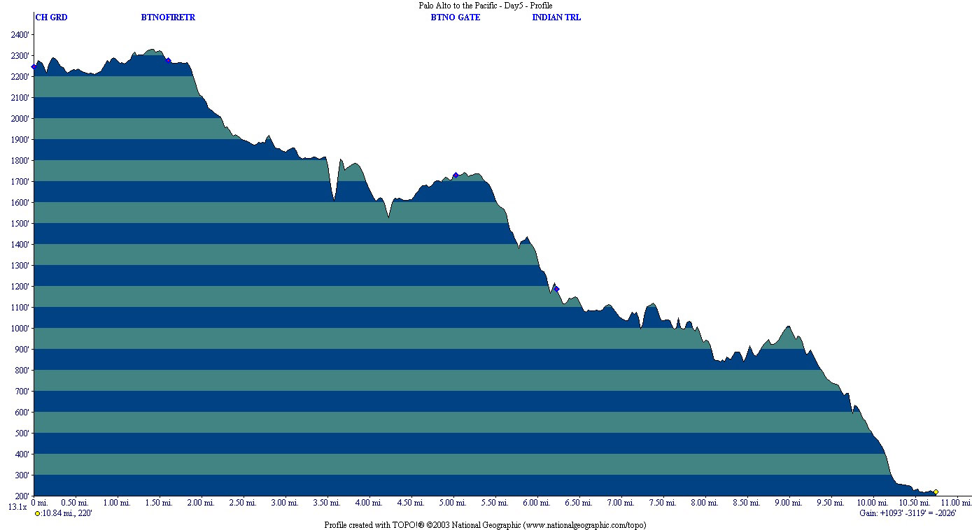
Statistics for Day 5: 10.68 miles covered, 2026 ft. elevation loss, October 11th, 2003
Resources and Links
- Big Basin Redwoods State Park to Butano State Park Map with suggested route
- Big Basin Redwoods State Park to Butano State Park Map with actual GPS track
- Big Basin Redwoods State Park to Butano State Park Elevation profile
- Big Basin Redwoods State Park to Butano State Park GPS Topo! route
- Big Basin Redwoods State Park to Butano State Park GPS Route CSV File
- Big Basin Redwoods State Park Map
- Butano State Park Map