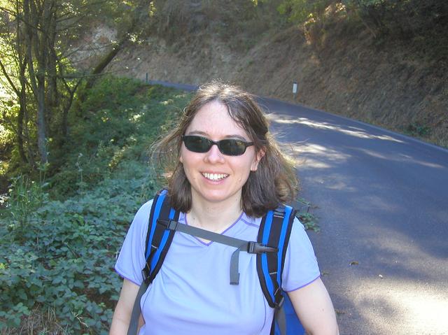
 A careful review of the maps failed to turn up any trails connecting Butano State Park with the Pacific, which meant a road walk was going to be the only way to complete this trip. I talked my hiking friend, Jeanne, into coming out and finishing this trip with me, and to help me with a car shuttle as I didn't want to do a round-trip on the roads. Gazos Creek Road, in particlular, is narrow and winding, and not a particularly good place for foot traffic. It is, however, lightly used, so the chance of having an unsafe encounter with an auto was relatively small.
We drove out to the coast and started asking locals about any potential connecting trails that might have not been on the official maps. First we talked to the proprietor of a gas station near the Gazos Creek Road junction and later to the staff at Camp Costanoa. No trails. It would be the road walk.
One car was parked at Gazos Creek Beach, and we headed for Butano. I had finished near the Ranger Station entrance and so we began there, out the front gate and on to Cloverdale Road. Cloverdale Road is wide and has sufficient space for walkers and hikers, but there is no shelter and we were baking in the heat before very long.
 On our right, immediately across the road is Cloverdale Ranch, a property now owned by the Peninsula Open Space Trust (POST). This is a great piece of land that will be held for public use, and there exist several roads on the property that could take you to the coast. But POST keeps the property closed to the public, and there is little likelihood of any connecting trails until the land is converted to a State Park. They do have one trail project near Pigeon Point Lighthouse, but this is a short trail. Their mandate is simply to purchase properties, not to run them. That is left to other agencies.
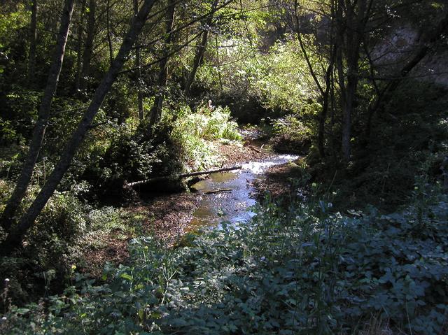
 We made it to the junction of Cloverdale and Gazos Creek Road, and were happy to find some shade near the Gazos Creek bridge. This bridge allows access to a road that follows Old Woman's Creek, and the only use for the road at the moment is to provide access to private property and homes beyond the boundries of Año Nuevo State Park. But in the future, this could be a critical link connecting this junction to the Año Nuevo State Reserve and to the trail system found in Big Basin Redwoods State Park. The connector link from Butano to this junction does not exist, but remnants of the entry gate are still visible. Since my hike there a project has started to re-open the connector link along the old logging road that once existed, and there will be an excellent trail bridging the gap from the Butano trail system to this junction.
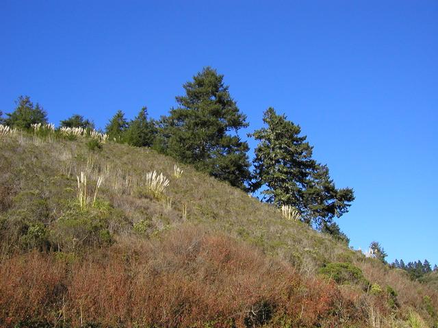 We started up again along Gazos Creek Road, watching for traffic and enjoying the views north looking at the Cloverdale Ranch property. The creek itself is sheltered and hidden, surrounded by banks of vegetation of all forms. POST is working hard to mitigate erosion into this creek, as it is used by salmon for breeding, and it's a priority to undue the ecological damage done to this watershed by past landowners. Any trail plans along this creek will have to deal with the fragile nature of the ecology of these waters.
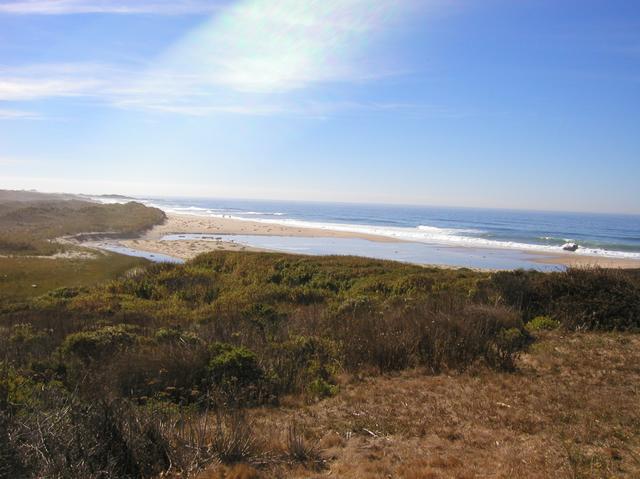
 We quickly covered the distance along Gazos Creek Road, and arrived at US 1, the coastal highway. Crossing over and down the access road we reached the Pacific and the end of my journey from Palo Alto. It was a real treat to poke a finger in the Pacific and declare the mission accomplished. The beach is part of the famous Año Nuevo State Reserve, a place where thousands come to seal watch every Spring.

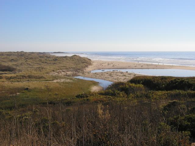 From the beach there are great views northward towards the Pigeon Point Lighthouse. Looking south is a sandy beach fit for a day of relaxation on the coast. But the real pleasure for me was the knowledge I had gained and the scenery viewed in the traverse of so many new and interesting open space districts, parks, preserves, and public lands. There is a treasure of wilderness areas available so close to home, and yet most people are both unaware of them and have not experienced the beauty of these places, less than 50 miles from our urban centers. I hope this journal and website will inspire others to complete this journey.
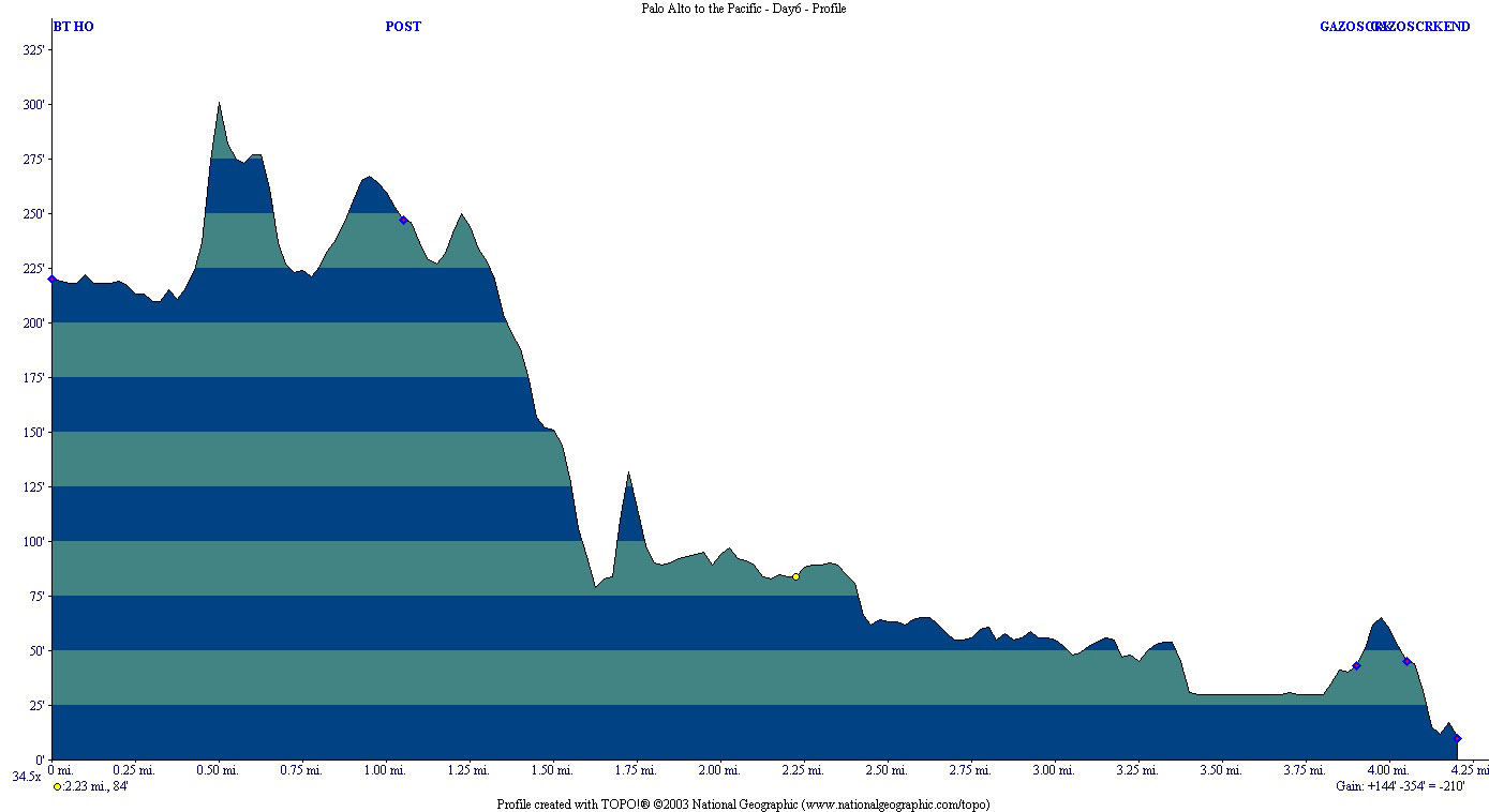
Statistics for Day 6: 4.2 miles covered, 210 ft. elevation loss, October 25th, 2003
Resources and Links
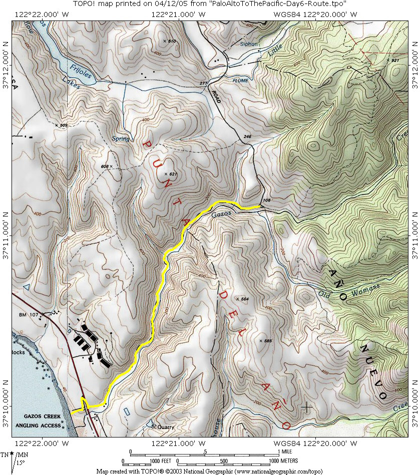
- Butano State Park to Gazos Creek State Beach Map with suggested route
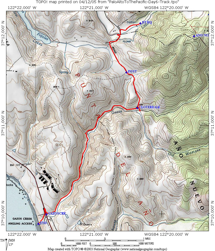
- Butano State Park to Gazos Creek State Beach Map with actual GPS track
- Butano State Park to Gazos Creek State Beach Elevation profile
- Butano State Park to Gazos Creek State Beach GPS Topo! route
- Butano State Park to Gazos Creek State Beach GPS Route CSV File
- Butano State Park Map