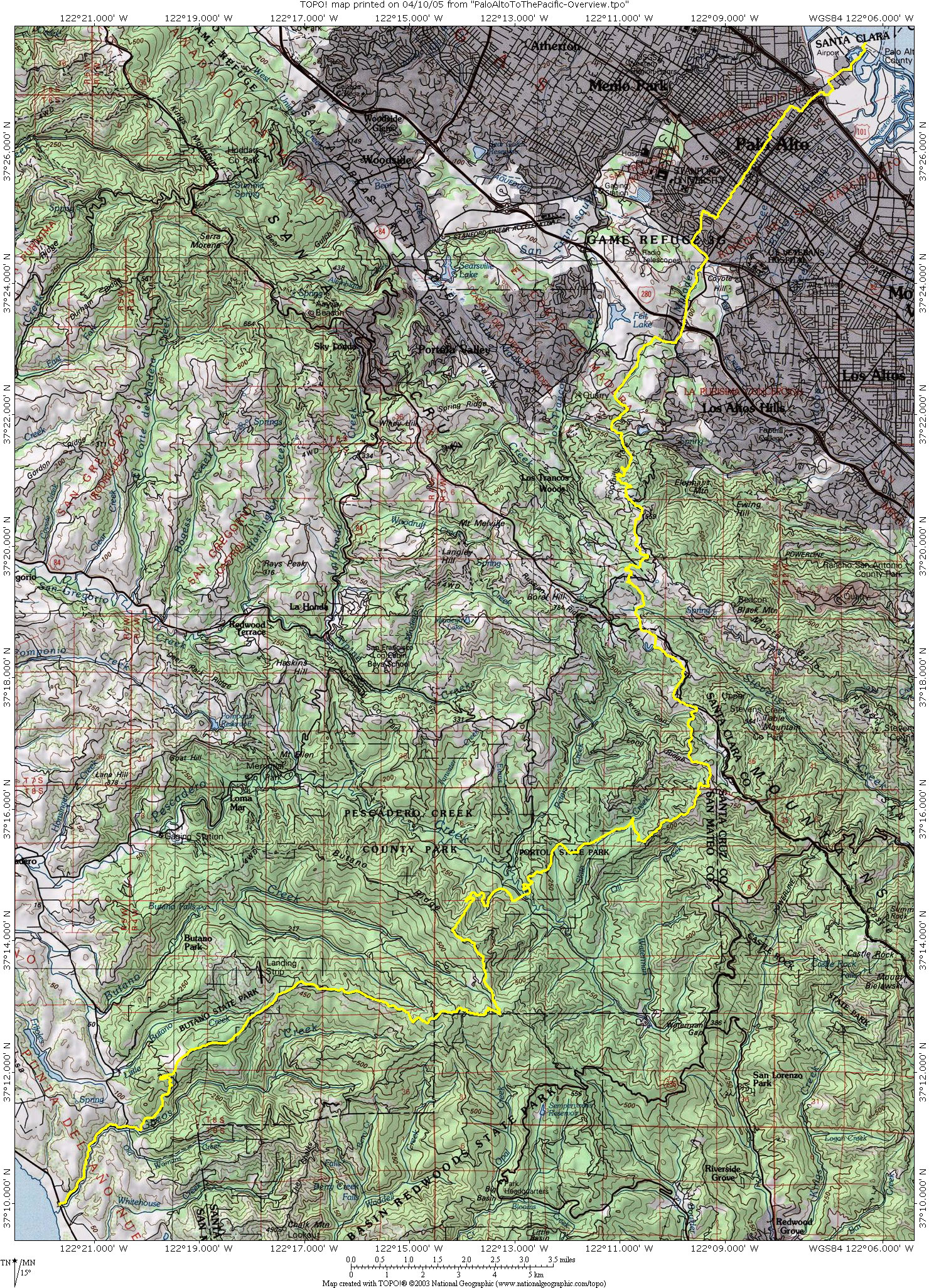
Palo Alto to the PacificA 42 mile trek from the Palo Alto Baylands to Gazos Creek Beach on the Pacific |
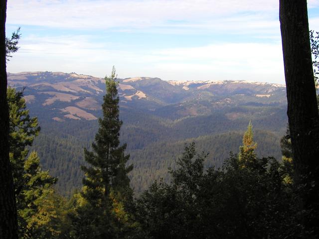
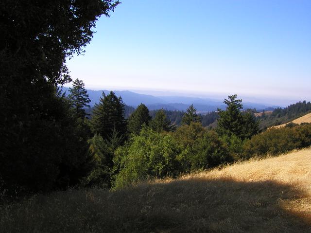
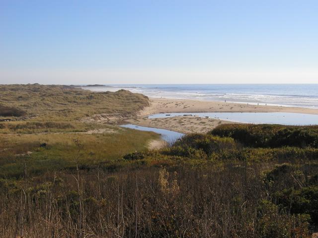
In August of 2003 I was unable to participate in any backpacking trips to the Sierras, so as Labor Day approached I decided that I had to get on a trail somewhere, and in thinking about that I decided it was time to fulfill my long held fantasy of walking from Palo Alto to the Pacific Ocean. This site is a record of that journey, and contains my daily diaries, photos, GPS tracks and maps. It's presented here so that you can enjoy the journey too.
Following the decision to attempt such a trip was a period of intense planning and looking at maps to see exactly how one could trek from shore to shore. There is the well known Skyline-to-the-Sea trail, but first you have to get up to Skyline Boulevard, and that in itself is not obvious. Also, my plans were to try to go as directly westward from Palo Alto as possible, and since Skyline-to-the-Sea heads due south, I started looking at alternate approaches to the Pacific. I found connections from Palo Alto to Gazos Creek Beach near Pescadero, and over the course of six separate days that Fall, I completed the trail end-to-end.
I found wonderful areas of wilderness, so very close to our urban centers. I hope this site will encourage others to walk these trails, and enjoy the resources hidden away in our own backyards. -- Hank Magnuski
On the daily pages you will find maps of my journey, GPS tracks of my actual route, and Topo! and CSV routes of my current recommendations for completing this hike. Look at the bottom of each page for these links.
Resources and Links


